in

GIS data to draw up risk assessment maps for dengue and chikungunya

GIS data to draw up risk assessment maps for dengue and chikungunya

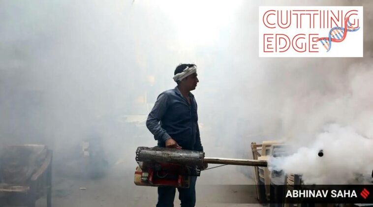
Could the rare Kyasanur Forest Disease be spreading to the eastern parts of the country? How does paddy cultivation affect the number of Japanese Encephalitis cases? Could filariasis be found in places previously unknown? Researchers from the Vector Control Research Centre have been using satellite data to answer these questions.

A team at the institute has been using satellite data on soil type, rainfall, crop height, forest density among…


Posted by Editor

Leave a Reply

News Picture: Changes in Menstrual Cycle Can Come After COVID Shot

Changes in Menstrual Cycle Can Come After COVID Shot

Netflix only loses 970,000 subscribers in second quarter after warning of loss of 2 million

Netflix only loses 970,000 subscribers in second quarter after warning of loss of 2 million